
Dove Dale - Peak District Walk
Monday 22nd January 2007
A walk along Dove Dale that didn't quite go to plan. When I got to Milldale there was a sign stating that the path along Dove Dale was closed at Ilam Rock for 2 weeks, starting today, with no diversions, thankfully I decided to carry on anyway. On reaching Dove Holes there was a road ahead closed sign but there was also a diversion 'for hill walkers only' which took me on a walk along the top of the Dove Dale until it reached Lover's Leap where it was possible to return to the valley floor.
Start: Alsop Station car park (SK 1558 5495)
Route: Alsop Station car park - Milldale - Dove Holes - Upper Taylor's Wood - Lover's Leap - Lin Dale - Thorpe - Tissington Trail - Alsop Station car park
Distance: 9.75 miles Ascent: 515 metres Time Taken: 4 hrs 45 mins
Weather: Cold with a light snow shower to start then brightening to give a clear blue sky.
Pub Visited: None Ale Drunk: None

The River Dove.

Raven's Tor in Dove Dale.

Dove Holes.

Looking across Hall Dale from above Dove Dale. The three peaks in the distance are (L-R) Wetton Hill, Narrowdale Hill & Gratton Hill.

Zooming in on the High Peak which has had some snow.

As I descended to Lover's Leap you could see the rock-work being carried out on Pickering Tor. Ilam Rock is opposite.

Lover's Leap, with the 'Road Closed' and diversion signs.

Thorpe Cloud from the top of Lin Dale.

Thorpe Cloud centre with Bunster Hill behind it. To the right of the picture are Hamston Hill, front, with Butts behind it.

A wintry Tissington Trail.

Looking towards Bradboune from the Tissington Trail. The masts on the horizon (right) show where Alport Stones is.

Zooming in on Bradbourne's church.

One of the many bridges crossing the Tissington Trail.
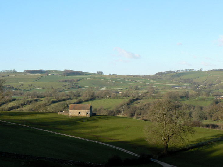
A typical dales scene.
All pictures copyright © Peak Walker 2006-2023